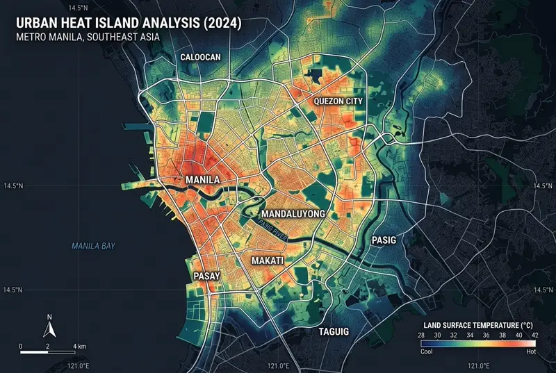
Landsat-8 Thermal IR
Tokyo & Jakarta Urban Heat Island
Land surface temperature radiometry mapping deriving +4.8°C thermal anomaly in built districts.

A selection of spatial analyses and visualizations across urban, environmental, and mobility domains.
Land surface temperature radiometry mapping deriving +4.8°C thermal anomaly in built districts.
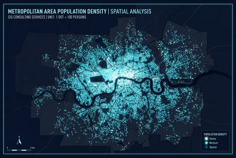
120,000+ POI micro-clustering rendering without Modifiable Areal Unit Problem (MAUP) distortion.
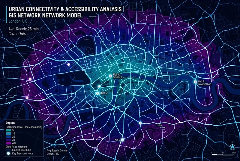
Multi-modal transit reachability modeling revealing 84.2% vs 38.6% 8-minute rail access.
Interact with real open geospatial data: Natural Earth vectors, OpenStreetMap land cover, and OpenRouteService pedestrian isochrones for Jakarta.